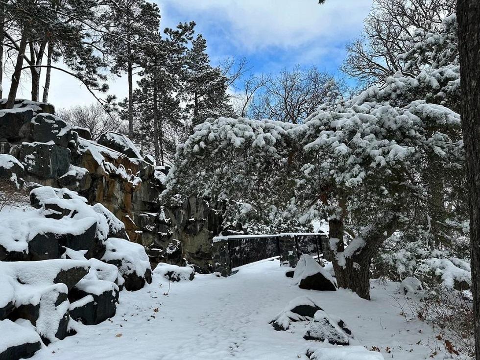
The storm will move across the Midwest and Great Lakes by Tuesday. It will then shift to the Northeast, where almost 160,000 homes and businesses are still without power Monday after receiving several feet of snow over the weekend.
Blizzard warnings extend from northern Colorado and Kansas into parts of Minnesota, Nebraska and South Dakota on Monday. Between 2-10 inches of snow could fall in these areas, and some places could see more than a foot, according to the National Weather Service.
Back-to-back winter storms have given some cities as much snow as they had all winter, and the latest storm is expected to have longer-lasting impacts than the last.
Travel could become “nearly impossible” in some areas as the storms move through the Plains and Upper Midwest, creating icy roadways and whiteout conditions, the National Weather Service warned.
Freezing rain and sleet had already begun to create slick road conditions in parts of Nebraska Sunday night, the weather service office in North Platte said. More severe whiteout conditions are likely to develop as rain turns to blowing snow.
Widespread power outages are also a concern as power lines and trees are likely to be damaged by strong winds and accumulations of heavy, wet snow, the weather service said.
Winter storm warnings stretch from New Mexico to Wisconsin and the Dakotas, where snowfall totals of 4-12 inches are possible.

Last week, a storm dumped snow from the northern Plains to the Northeast. Parts of some states, including Maine, New Hampshire and Vermont, saw more than two feet of snow.
About 160,000 homes and businesses were still without power across the Northeast as of late Sunday night, according to PowerOutage.us. The majority of the outages are in Maine, where around 120,000 were in the dark. More than 25,000 in New Hampshire and nearly 15,000 in New York were also experiencing outages.
Many power lines were grounded across Maine after the storm blew through, according to Central Maine Power. The utility said its crews responded to more than 700 emergency calls Sunday for issues including blocked roads and downed lines.
Though the Maine utility had restored power to more than 50% of customers impacted by the storm as of Sunday night, restoration efforts in severely impacted coastal areas could last through Wednesday, it said.
Rare ‘storm’ in space makes Aurora Borealis more visible in US
Some sky gazers in the northern US may have been lucky enough to glimpse the Aurora Borealis, or Northern Lights, overnight Sunday, due to a rare geomagnetic storm.
A geomagnetic storm is a major disturbance to the Earth’s outer magnetic field most commonly caused by a strong surge of solar wind from the Sun known as a “coronal mass ejection,” according to the US Geological Survey.
The event increased the likilihood of seeing the Aurora Borealis in parts of the Pacific Northwest, Northern Plains, Great Lakes and interior Northeast overnight Sunday.
Cities including Seattle, Chicago, Minneapolis, Detroit, Milwaukee, Buffalo and Portland are north of the viewing line. Aurora activity is expected to be high across Alaska, allowing the lights to be seen — weather permitting — from Utqiaġvik to as far south as Kodiak and King Salmon, according to the Geophysical Institute of Alaska.
The storm could create interruptions here on Earth, including radio frequency blackouts and GPS problems.
This is a particularly severe geomagnetic storm, rated a level G4 out of 5 Sunday afternoon. Storms of this strength only occur on average 60 days every 11 years, according to the Space Weather Prediction Center. The storm has since dropped to a level G3 out of 5 for early Monday morning.


